Guinea
Things to DO
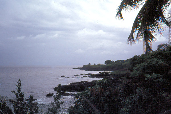
Conakry
 |
|||||
Historically, Conakry was one of colonial France's major ports in West Afrika and in its heyday was known as the "Paris
of Africa".
Until the end of the 19th century, what is now downtown Conakry was an island, seperated from the mainland by a marshy channel (later
bridged at the site of the Palais du People)
There was a lot off Paper-work" to do; arranging work-permits and visa-extensions, driving-licence, car-registration and insurance
papers etc. This was very important, course - specially around Conakry - there are many roadblocks around where soldiers and custom officials
check you're papers and are hassling and demand for bribes if something isn't okay.
Probable as a result of the 1977-tensions there was police security all around town. When we left the gate off our hotel "out off the
blue" someone emerged and followed us on proper distance. So it was was absolutely forbidden to take pictures.
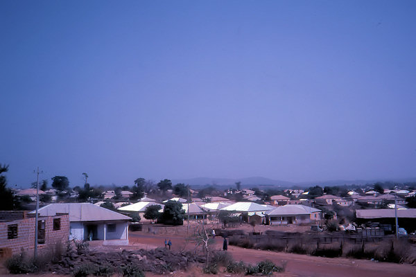
Labe
 |
|||||
The city was founded around 1755 by Karamoko Alpha, a Muslim religious leader who introduced Islam in the region in the 18th
century and who also founded a theocratic state in Fouta Djallon.
Trade or commerce has become the main activity in the city, but Labe also has a small manufacturing industry consisting mainly of shoe
making, textile, carpentry, blacksmithing.
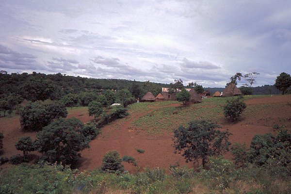
In the region around Labe traditional rainfed rice farming also known as dry rice farming is by far the most widespread
agricultural cultivation. It is carried out on hillsides, in the mountains, and on cleared forest areas after recent burning.
It has its own "‘Foutanian" climate where temperatures can drop to 8°C and it is an excellent area for the development
of market gardening (potatoes, onions, large red peppers, eggplant, etc.)
Water management is founded on the exploitation of surface water for agricultural needs and livestock rearing through the
construction of facilities for water control and rational use.
 |
|||||
The infrastructure required includes pumping stations, dams for simple or multiple distribution, irrigation and drainage networks
(canals for distribution, irrigation and drainage, control devices).
An EU project was launched to help improve agricultural infrastructure in this area and for making plans reliable height maps are necessary.
Thus I worked there for about 5 months as a cartographer.
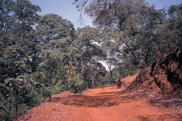
About an hour's drive a rugged road off the "Route de Koundara" leads to the Chutes de Sala.
Be sure to visit the falls at both the main entrance - where you can picnic and swimm - and at the lookout point (veer right at
the fork in the road as you approach)
Kankan
 |
|||||
Kankan was founded by the Soninke people in the 18th century, after which it became an important trading centre, particularly
for kola nuts, and the capital of the Baté Empire.
The population of the city is predominantly from the Mandinka ethnic group and their language is widely spoken throughout the
city.
Upland rice growing is most widespread around Kankan. It is an essentially agricultural region entirely in basin of the Niger
and its tributaries.
It depends on weather factors (too little or too much rain, date of arrival or recession of water levels) and a low level of
intensification
The principle behind developing facilities is founded on the construction of irrigation infrastructure and drainage (lowland) and
controlled flooding (small alluvial plains). The unit may be completed through the construction of water retention banks.
I worked here for about a month.