Namibia
Things to DO
Swakopmund
 |
|||||
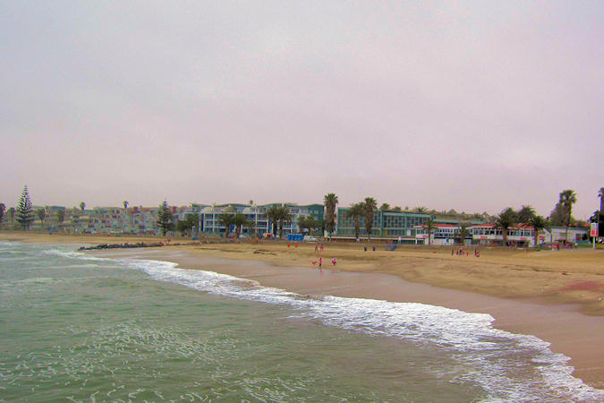
Considered by most Namibians to be the country's only real holiday resort, this old German town spreads from the mouth of the Swakop
River out into the surrounding desert plan.
Climatically more temperate than the interior, the palm-lined streets immaculate old buildings and well-kept gardens give Swakop (as the
locals call it) a unique atmosphere and make it a pleasant oasis in which to spend a few days.
Unlike much of Namibia, Swakopmund is used to tourists and has a wide choice of places to stay and eat and many things to do. The town has
also established a name for itself as a centre for adventure travel and attracting adventurous visitors seeking "adrenalin" trips
with numerous new and highly original options, from free-fall parachuting to dune-bike riding and sandboarding.
This is still to small to change the town's character, but is enough to ensure that you'll never be bored.
 |
|||||
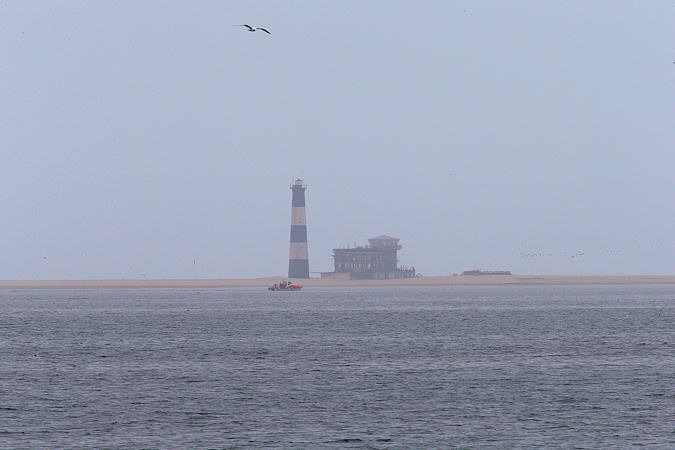
The town Walvis Bay, 35 km south off Swakompund has a changeful history.
It was discovered by the Portuguese sailor Bartholomeu Diaz, who explored the West African coast from 1482 to 1489, and who sailed
into the bay for the first time in 1487.
At the beginning of the 18th century the place developed into a sought after fishing ground for fishermen from North America and Europe, due
to its abundance of whales and fish.
Today Walvis Bay is the third largest town of Namibia and its only deep-sea harbour.
Most visitors still stay in Swakompund, where they can eat and relax and venture down to Walvis Bay to go birdwatching, as there are a
number of sites attracting huge flocks of seabirds and migrant waders, including the famous flamingos and pelicans.
Brandberg
 |
|||||
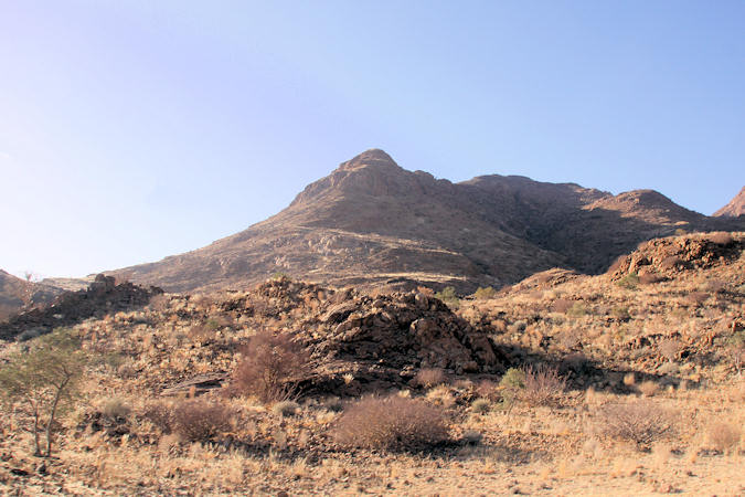
Brandberg; Measuring about 30 km by 23 km at its base, 2.573 m at its highest point, this ravine-split massif of granite -
Namibia's highest mountain - totally dominates the surrounding desert plains.
This area has been occupied by Bushmen for several thousands of years and still holds a wealth of their artefacts and rock paintings,
of which only a fraction have been studied in detail and some are undoubtedly still to be found.
The richest section for art has so far been the Tsibab Ravine, on the northeastern side of the massif.
All alomg the Namibian cost there are colonies of South African Fur Seal, though the one at Cape Cross (50 km east of
Brandberg) is one of the easiest to acces.
Occupied all year round, it numbers up to 100.000 animals. The amazing sight of tens of thousands of heads bobbling on land and in the
water is matched only by the overpowering stench of the colony that greets you.
Etosha National Park
 |
|||||
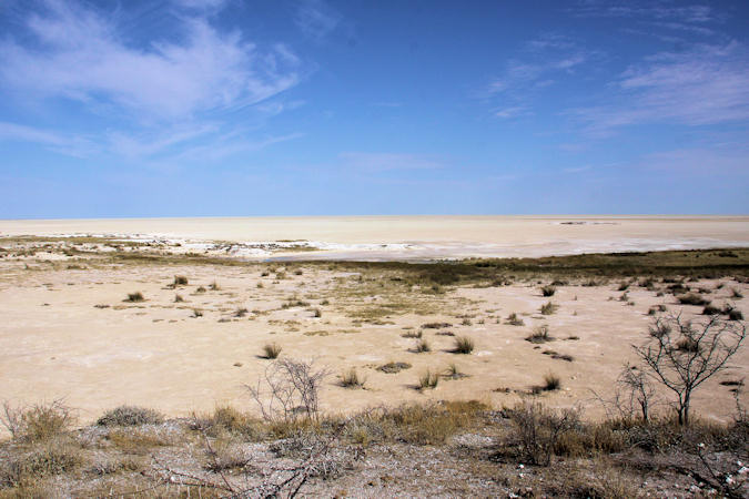
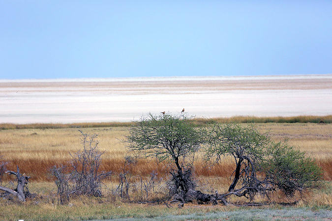
Translated as the "Great White Place", Etosha is an apparently endless pan of silvery-white sand, upon which dust-devils
play and mirages blur the horizon.
As a game park it excels during the the dry season when huge herds of animals can be seen amidst some of the most startling and photogenic
scenery in Afrika.
There are a couple of restcamps within the park, as well as an increasing number of lodges outside its bounderies, yet the park is never
busy in comparison with equally good reserves elsewhere in Afrika.
Okaukuejo Camp occupies a level, grassy site at the western end of the pan. The big attraction here is a permanent waterhole which
is floodlit like a stage at night, giving you a chance to see some of the shy, nocturnal animals that come to drink - oblivious to
the noise, the bright lights & the people sitting on bences just behind a low stone wall.
Sittuated on the eastern edge of the pan, Namutoni Camp is based around a beautifulold "Beau Geste" type fort, in an
area dotted with gracefull makalani palms.
 |
|||||
The defining feature of the national park is the hudge Etosha Pan, wich appears to be a remnant of a large inland lake that
was fed by rivers from the north and east. However some 12 million years ago continental uplift changed the slope of the land and the course
of these tributaries. Thus deprived, the lake slowly vanished in the scorching sun, leaving behind only a salty residue.
Few plants can grow on this and so wind erosion is easy, allowing the pan to be gradually hollowed out.
Etosha is so special because of the concentration of waterholes that occur around the southern edges of the pan. As the dry season
progresses, these increasingly draw the game. In fact, the best way to watch animals in Etosha is often just to sit in your vehicle by a
waterhole and wait.
For an impression on the wildlife see my
mammals
- and
birds
- selection
Caprivi Strip
 |
|||||
Caprivi was named after German Chancellor Leo von Caprivi (in office 1890–1894), who negotiated the acquisition of the land in
an 1890 exchange with the United Kingdom. Caprivi arranged for the Caprivi Strip to be annexed to German South West Africa in order
to give Germany access to the Zambezi River and a route to Africa's east coast, where the colony of German East Africa (now part of Tanzania)
was situated.
The river later proved unnavigable and inaccessible to the Indian Ocean due to the Victoria Falls.
The transfer of territory was a part of the Heligoland-Zanzibar Treaty of 1890, in which Germany gave up its interest in Zanzibar
in return for the Caprivi Strip and the island of Heligoland in the North Sea.
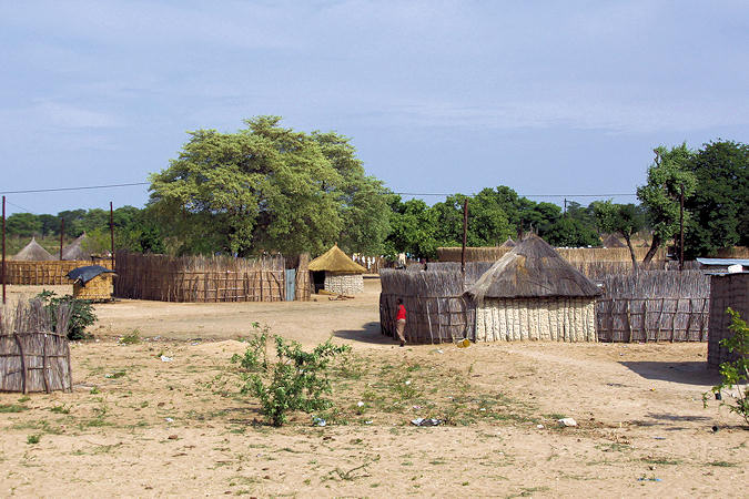
This area is really very different from the rest of the country.
You'll see lots of circular huts, small kraals, animals and people carrying water on there heads. By the roadfside you'll find stalls
selling vegetables, fruit or woodcarvings.
 |
|||||
The area is rich in natural wildlife and has mineral resources.
It is a corridor for African elephant moving from Botswana and Namibia into Angola, Zambia and Zimbabwe.
On the east side Popa Falls lie at a point where the Okavango River breaks up and drops 2,5 m over a rocky section, caused by the
first of 5 geological faults.
Essentially they are a series of rapids, pretty rather than spectacular, even the warden at the entrence admits that many visitors
are disappointed.
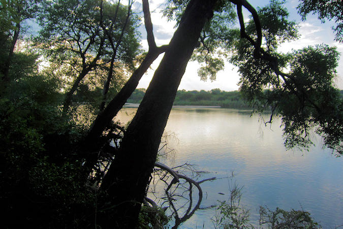
In the center, where the narrow strip widens up, are several places to stay on the eastern bank of the Kwando River.
The river is a super waterway for birdwatching; home to a tremendous variety of birds.